It was wonderfully sunny for most of Britain through early April. Nearly all areas have seen extensive sunshine and mild daytime temperatures - many good days on the hills indeed. For the reader’s interest, I’ve combed the data archives of Ogimet.com, where official Met Office weather data can be accessed, to display some interesting weather we’ve seen early this spring.
Dry as a Bone on Cairnwell
The Met Office maintains a weather station near the peak of the Cairnwell at 928 meters, one of the few official observation sites for our target region and elevation for MWIS forecasts.
At 7am on April 5th, the station recorded a dewpoint, which is a measure of the water content of the air, of -21.2C. With an air temperature of +4.1C at this time, this equated to a relative humidity of 14%. Such dry conditions are the result of an extended period of high pressure - air descends under high pressure, drying it out and establishing an inversion. With the inversion level below the Cairnwell station, no low-level moisture was able to reach upslope to the station. These two factors combined created exceptionally dry air, not unlike a desert!
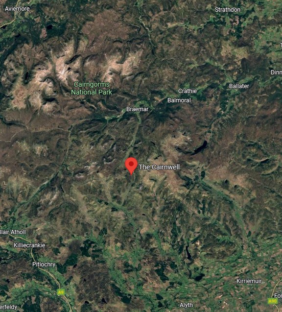
Image from maps.google.com
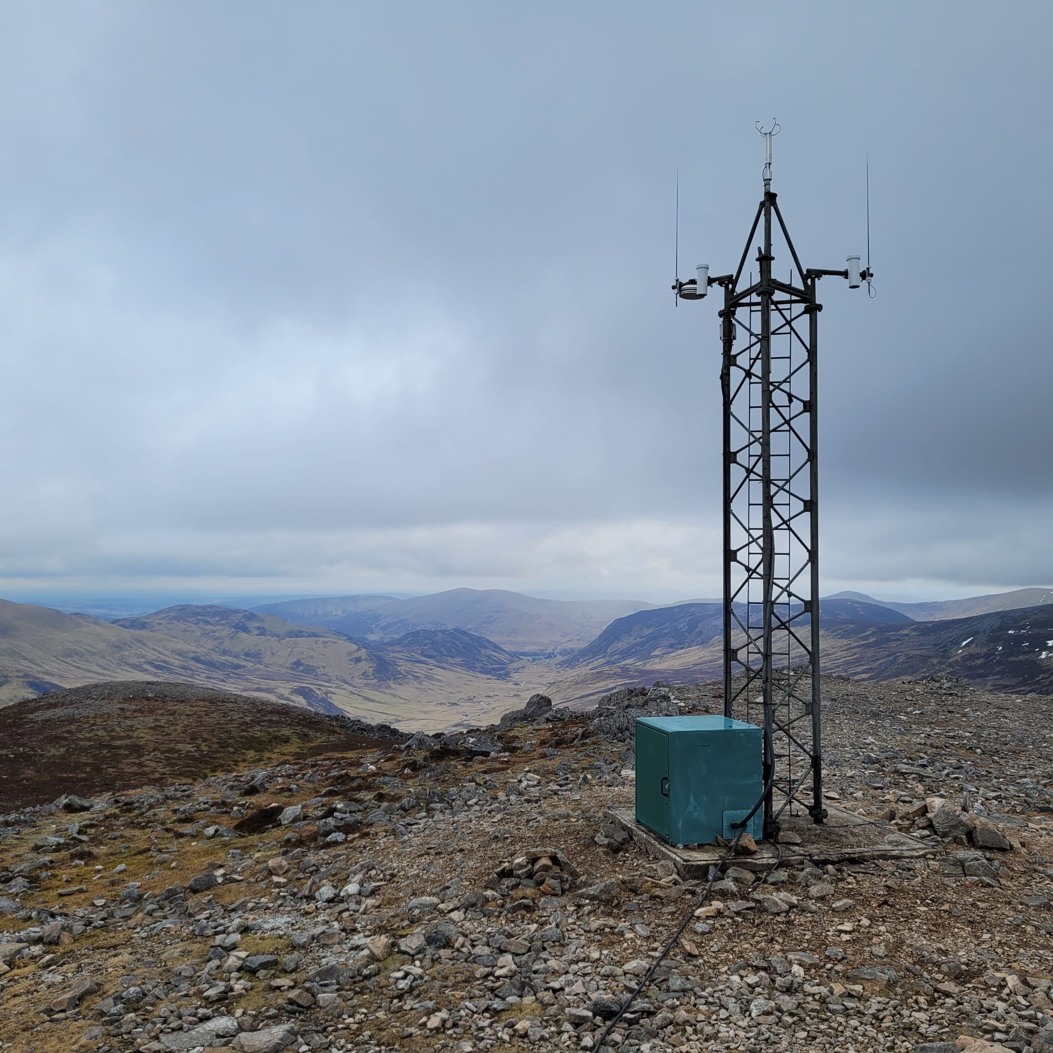
Cairnwell station - image from Garry Nicholson/MWIS
Valley Frost
Our regular forecast readers will have noticed our freezing level forecasts for early April often noted something like “Above the summits. Frosts in the valleys/glens.” Low valleys cool quite a bit overnight as this is where dense, cold air will settle. As an example, consider the weather station near Aviemore at 228m. Excepting the nights of April 2nd and 3rd where no data is available, temperatures dipped below freezing each night through the 8th of April, typically in the early morning hours before sunrise. The nights are still long enough, temperatures are still cool enough, and skies have been clear enough under high pressure to allow this deep cooling. The coldest temperature recorded in April at Aviemore was -3.9C at 6am on April 5th. At the same time on Cairnwell, the temperature was +2.2C; valleys frozen, upland terrain not.
Windy Wales
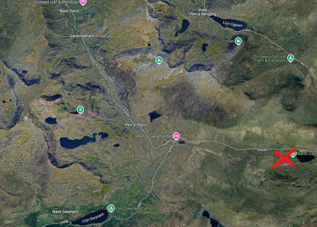
In Wales, the Capel Curig weather station lies in Snowdonia National Park at 216m.
Several spells of strong wind have blown through Wales in early April, notably in the afternoon of April 3. Frequent gusts of 30mph were recorded, with a maximum recorded gust of 38mph. These were easterly gusts in a stable atmosphere, so those winds were greatly accelerated as they were pushed upslope through valleys and over high mountains to the west. While no data is available, our forecasts were discussing risk of gusts up to 60mph.
It was a sunny day at the weather station and a mile 16C, but the wind chill gave a “feels like” temperature of 6C. Even on a mild sunny day, strong winds can get in the way of enjoying the day.
Image from maps.google.com. Capel Curig weather station marked with the red X.
That's the weather story...for now!
-Dan
All weather data in this blog was sourced from Met Office weather stations, provided on Ogimet.com