Notably cold conditions for June will affect the mountains this week, with freezing temperatures and snow expected on the Munros.
A cold front passing southwards on Tuesday will be followed by air originating from the Arctic which will dominate the rest of the week.
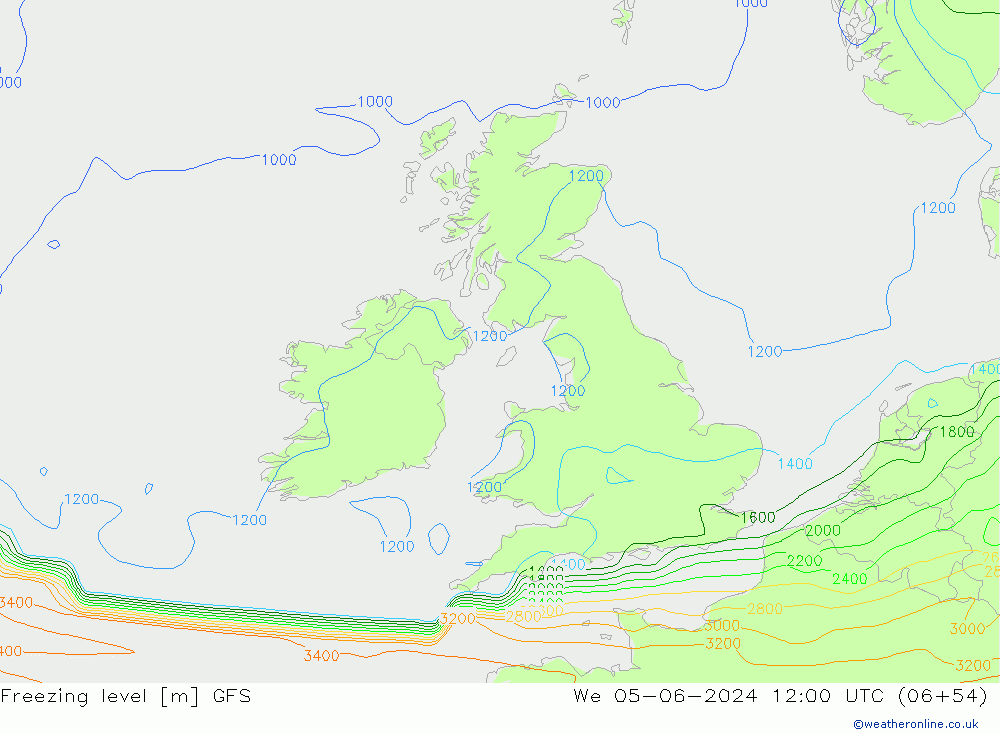
Scottish mountains above 1000m will have air temperatures close freezing point, whilst the highest summits will be sub-zero for periods this week.
Strong west to northwesterly winds will bring a significant chill factor, where exposed to sustained speeds of 30mph it will feel like -10 Celsius on the Munros. The highest summits could feel even colder with squally gusts over 50mph at times.
Showery weather will see a mix of hail and snow falling over higher terrain. The most frequent precipitation is likely to affect the west and northern Highlands. Heavier showers bring a risk of isolated lightning too.
Temperatures are likely to recover a little by the weekend, but a cool and rather unsettled outlook is due to continue onward into next week