Thundery bursts of rain are an all too common problem when planning mountain days in mid-summer. Saturday of last weekend was a prime example and gives us an almost text book study of a typical summer's day when the atmosphere is unstable. Here we'll explain the clues from the changing clouds.
The images used in the first section are from the webcam at Meall a'Bhuiridh, located at 1097m, above Glencoe, with a northeasterly view over toward the Ben Nevis range. We carry this and many other webcam feeds on our website, this example with credit to Glencoe Mountain Resort.
In these weather situations, the best time to be out on the mountains is early in the day. Climbers talk of 'Alpine starts', meaning starting activities before dawn, in order to maximise the time on the mountains before afternoon showers develop. Thundery afternoons are a very common part of summer weather in the Alps. Daytime convection is often the main source of rainfall in central Europe in the high summer. Some big thunderstorms form at times when the weather situation is most unstable. Our UK weather is more variable with a mix of frontal systems moving through giving periods of rain, but on days which are purely showery, the same Alpine logic applies and the late afternoons are the most dangerous for storms.
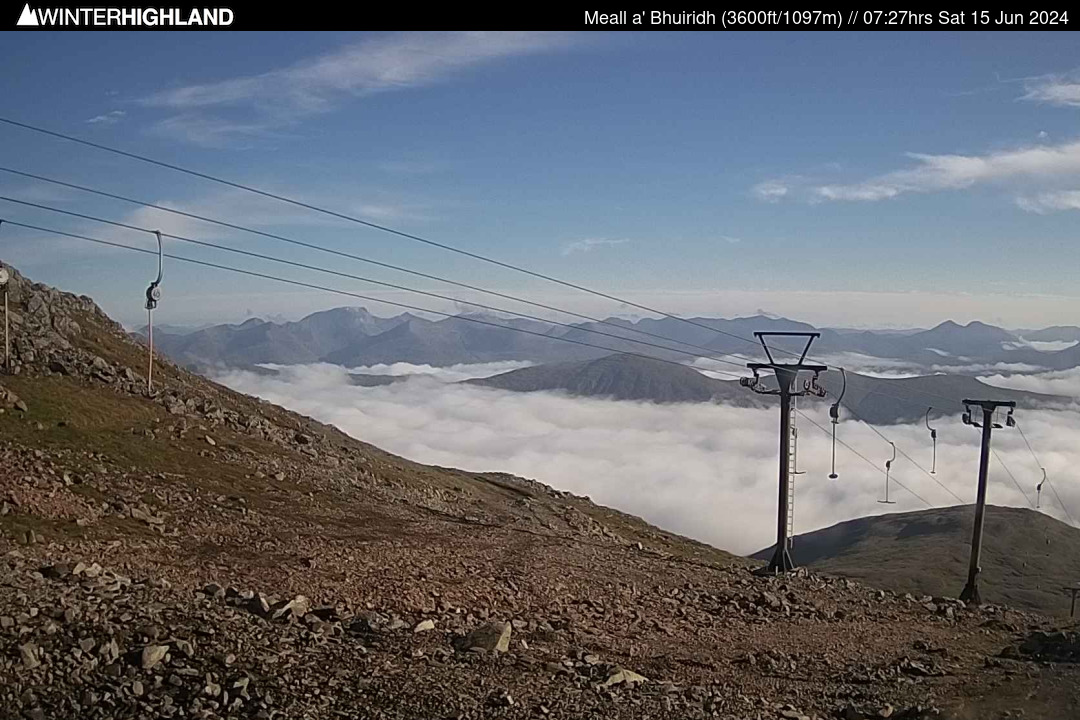
Early morning inversion (07:30)
Overnight, the air cools and any previous shower cloud from the day before has dispersed, leaving just some fragments of high cloud well above the mountains. At this point, the atmosphere is quite stable, with a temperature inversion meaning the hills are warmer than down in the glen at first. The lower atmosphere is quite humid however — the clue here is the fog or low cloud banks over the lower terrain. This means we have a fair amount of moisture present in the air which is available to form clouds and potentially rain later in the day. Apart from reading the MWIS forecast, there's not much else at this time to directly indicate things may turn showery later…
Cumulus clouds building up (10:00)
…However, it doesn't take long for the atmosphere to give the game away. The strong summer sun has climbed higher in the mid-morning sky, evaporating the fog and warming up the ground. The varied topography and land-cover will heat up unequally, which aids the formation of rising thermals. As the air rises, it cools and reaches a point where water vapour condenses back into liquid droplets forming fluffy cumulus clouds. These clouds may briefly cap higher summits, but will likely rise further above the mountains. Watch how quickly the clouds continue to grow vertically — if they are soon visually as big as the mountains, it means there is strong convection, indicating unstable air which brings a potential for showers or storms later.
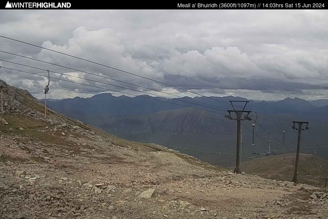
Ominous skies developing (14:00)
By early afternoon, those friendly looking cumulus clouds have started to become much more threatening and dark. The sky has become more overcast as the clouds have grown and increasingly filled in. The cloud base is quite high, still above the highest peaks. Sometimes, the onset of showery rain brings small shreds of cloud just beneath the main cloud deck — this 'pannus' or 'scud' cloud forms as warm moist air is caught in an updraught just ahead of the main shower cloud. Watch for the first big spots of rain developing, and distant 'streaks' of showery rain appearing over the mountains. If this continues to develop, it is probably time to think about heading down off the hills.
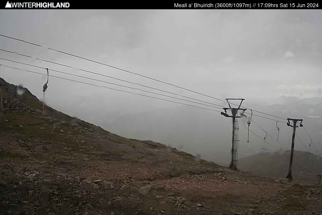
Showery bursts of rain (17:00)
By mid to late afternoon, the clouds have grown large enough to start dropping showers, and these will most likely keep getting heavier and more widespread into early evening. Although many places will see rain, heavier bursts of rain can be very hit-and-miss, with just a few miles making a difference between a deluge and just a few spots. Thunder, lightning and hail can also be very localised, with possibly just one shower out of many which becomes intense enough. This can make the lightning hazard very challenging to deal with. Extensive thunderstorms are arguably easier — you can hear them coming and a wide area may experience thunder. These 'thundery shower' days are much more localised but the danger is still real. Notice how visibility has dropped significantly as rain as started. This also restricts your knowledge of whether something better or worse is coming.
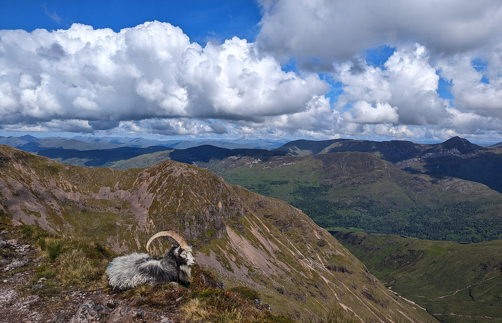
Cloud beginning to bubble up on the Aonach Eagach. Taken by our forecaster Mehmet while guiding the ridge.
Credit: Mehmet, Northern Aspect Mountaineering
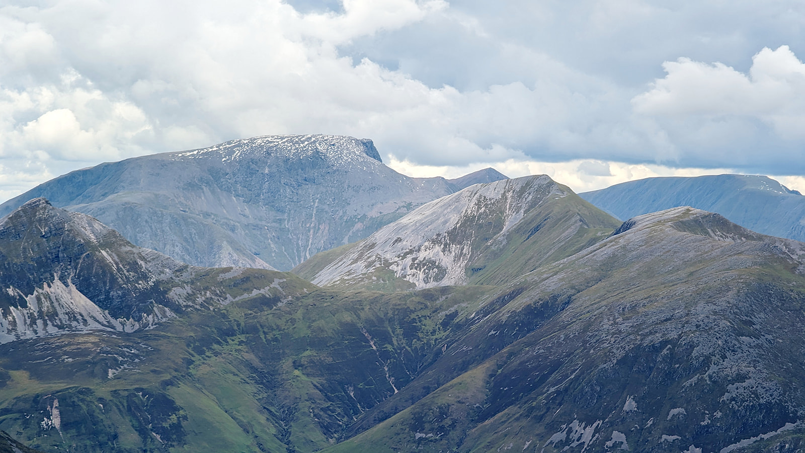
Looking towards Ben Nevis from the Aonach Eagach in Glen Coe. The clouds are starting to look more ominous.
Credit: Mehmet, Northern Aspect Mountaineering
Credit: Mehmet, Northern Aspect Mountaineering
Garry Nicholson, MWIS
Garry is a forecaster for Mountain Weather Information Service and leads the educational 'Day with MWIS' courses.
These teach all aspects of weather in the mountains to build knowledge and aid in the planning of safe and enjoyable adventures. You'll also hear him describing the latest weather situation on our video forecasts several times per week.
Garry is based in the Peak District, but working with MWIS on the road often offers the opportunity to bag another Wainwright or Munro. But only if the chance of a summit view is almost certain!