Inversion forecasts – and how far you can trust them
Inversion forecasts – and how far you can trust them
Recently, a fairly murky weather pattern has dominated over the British mountains and lowlands. This is connected to humid southerly air brought toward the UK and high pressure. But why? Does not the high pressure bring sunny and dry days, in contrary to lows, which bring clouds, rain and wind?
Well, yes, but also no. High pressure often creates an inversion – an air layer in which temperature rises with height, which prevents any lower level air from rising up. The cloud top is at the same altitude the inversion is.
The big question is, what altitude is it? Meteorologists use weather models and their visualisation tools, which show different representations of the atmosphere such as altitude profiles and cross sections. However, the connection of mountains and complex coast line of the UK creates significant regional differences between the inversion altitude, phenomen rarely appearing over the continents. Any local wind patterns, moisture sources, disruptions in the airflow create local pressure anomalies, which we have thousands of. Each of them influences the atmosphere locally, often differently on two sides of the same mountain. Additional moisture can mean cloudbase is lower, but if it is also pushed upward, cloud base will stay the same, but cloud top will rise!
What if pressure rises? Cloud will drop – or dissipate! Pressure lowers? Cloud will likely become thicker and less dense, but additional moisture arriving will make it dense again – exactly when pressure rises again adds even more chaos into the system. And there is wind, which will transport the water droplets, making the cloud sometimes dissipate, sometimes become thicker if the flow meets the mountain on its way. Tricky? Also for us!

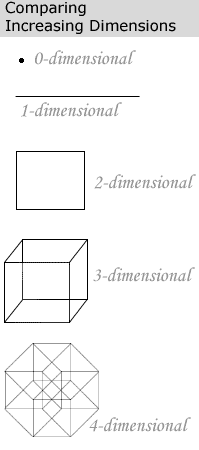
Simultaneous changes in all 4 dimensions

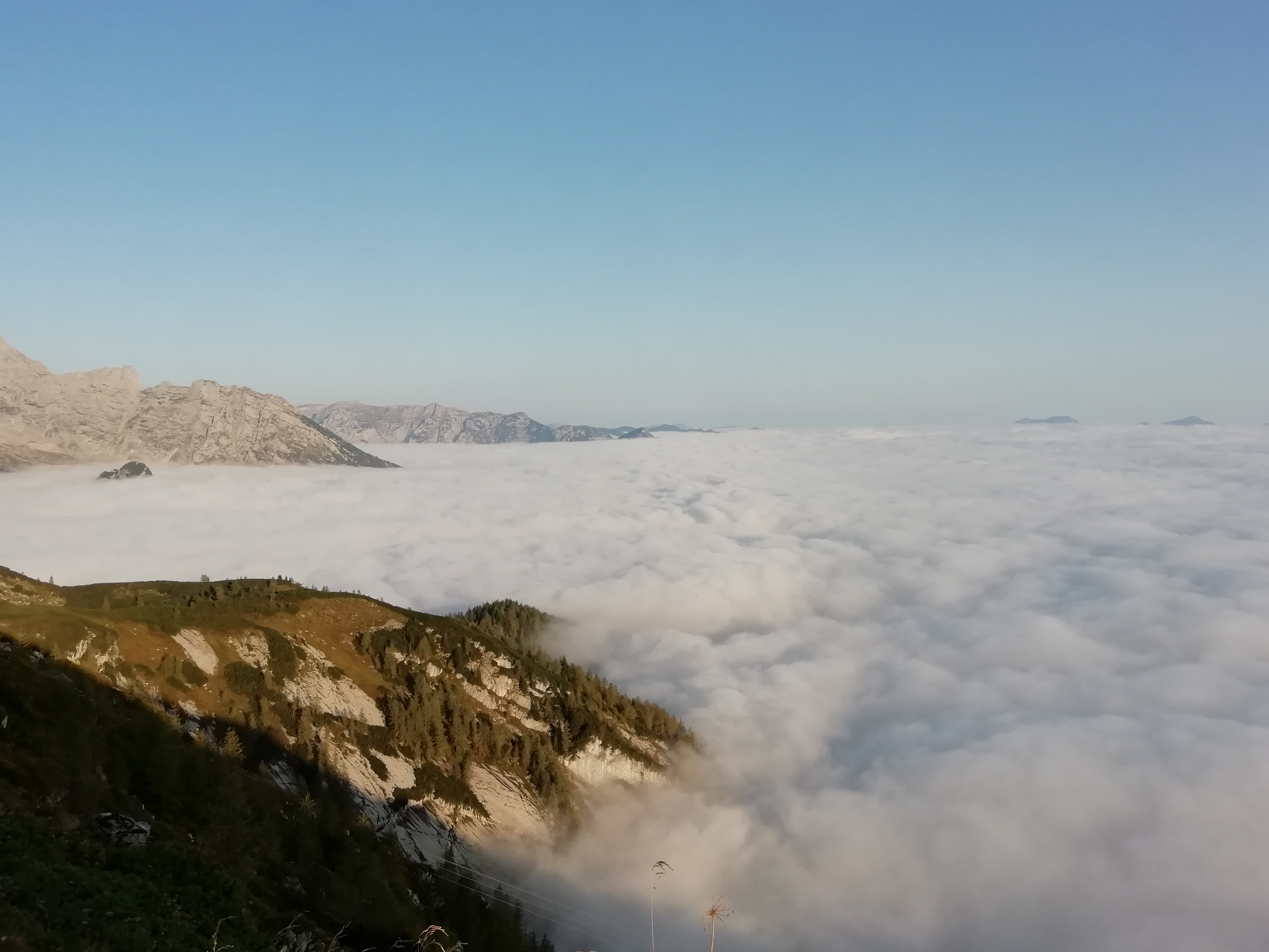
Inversion over the continent
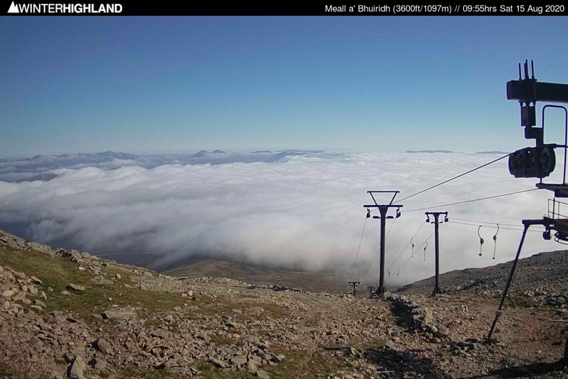
Inversion in the Highlands
In the Highlands, inversion altitude differs widely due to complex coast line and multiple local, small-scale atmospheric processes.

